eBEE TAC
Information Source, please click here.
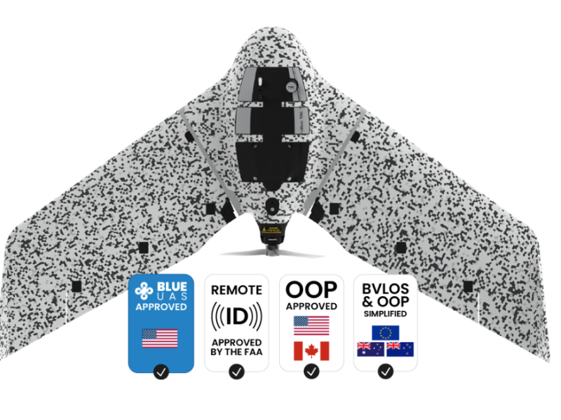
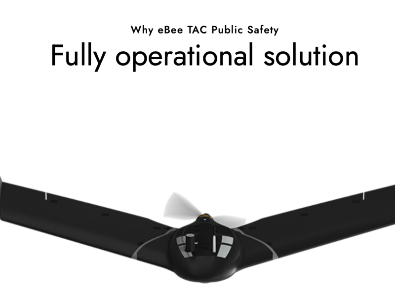
eBEE TAC from USA, produced by AgEagle
Introduce:
eBEE TAC has two versions:
1.Cyber-secure governmental and tactical mapping drone
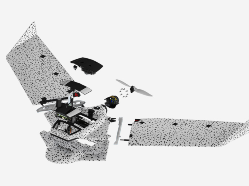
Perform in disconnected environments to act precisely. eBee TAC can be operated by one person and deployed in 3 minutes. 3D models, thermal and orthomosaics maps sharable locally.eBee TAC operates in disconnected environments to provide a higher-accuracy mobile solution to map and share imagery data on rapidly-shifting environments in order to analyze and act with precision.
This is a Swiss made portable solution that can be transported and maintained without requiring external support.
2.Public safety drone
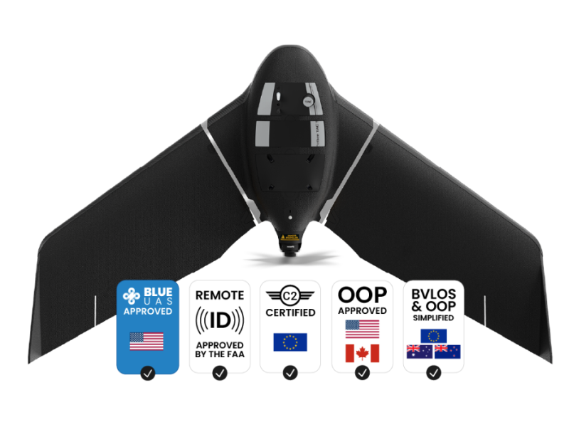
Carried in a backpack, operated by one person, and deployed in 3 minutes, eBee TAC Public Safety is a photogrammetry drone that provides 2D, 3D and thermal aerial data over large areas.
Lightweight fixed-wing drones such as the Blue UAS approved eBee TAC Public Safety have proven capabilities that enable law enforcement, firefighters and emergency services teams to rapidly deploy from a safe distance, capture the scene and make informed decisions on coordinating resources.
