UX5 HP


Information Source, please click here.
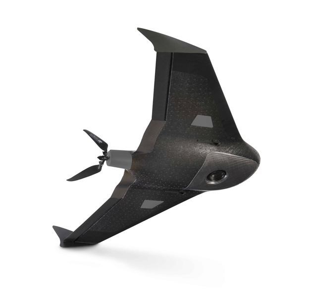
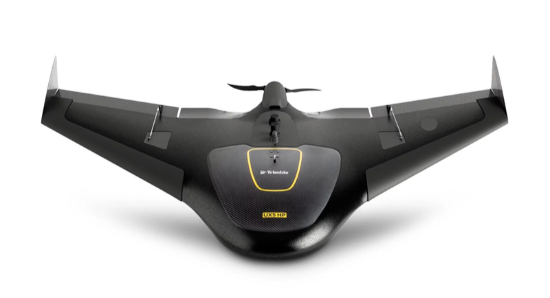
UX5 HP from America, produced by Trimble
Introduce:
The Trimble® UX5 HP Unmanned Aircraft System (UAS) is an easy to use, fully automated, high precision system capable of capturing aerial photography with resolutions down to 1 cm. Featuring Trimble AccessTM Aerial Imaging field software and Trimble Business Center office software, this complete system provides an intuitive workflow that allows you to quickly create the highest quality orthomosaics and 3D models for applications such as survey grade mapping, power line monitoring, field leveling, site and route planning, progress monitoring and asset mapping.
► High-performance Trimble GNSS receiver with PPK technology
► 36 MP, full-frame, high resolution camera ► Orthomosaics resolution down to 1 cm
and 3D models with up to 1,000 pts/m2
► Survey quality accuracy without ground control
► Fully automated Trimble Access workflows for ease of-use and safe operation
► Simple data processing with Trimble Business Center photogrammetry module
► Advanced data processing with Trimble Inpho UASMaster
