Bramor ppX
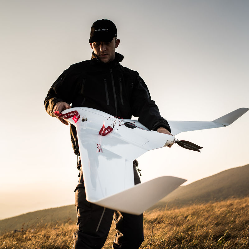
The Bramor ppX is a fixed-wing, catapult-launched unmanned aircraft system built by C-Astral of Slovenia for survey-grade aerial mapping and remote sensing.
Overview
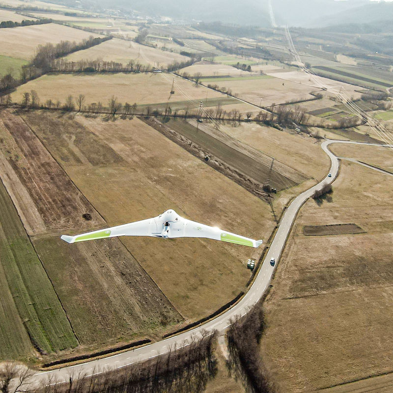
The Bramor ppX is designed to produce sub-centimeter-accurate, geolocated orthomosaics and other mapping data products for civil surveying and remote-sensing work, without requiring ground control points on site. It belongs to C-Astral's Bramor family of small fixed-wing UAS, a platform lineage the company has continued to develop across variants for surveillance (C4EYE), agriculture (aGX) and precision surveying (rTK, ppX, mSX) roles.
An earlier survey-oriented Bramor variant, the Bramor rTK, was one of the first fixed-wing small UAS to receive U.S. federal approval for commercial mapping work: in September 2015 the U.S. Federal Aviation Administration granted a Section 333 exemption together with a broad-area Certificate of Waiver or Authorization permitting operations up to 200 feet above ground level, with the aircraft operated commercially for large-area mapping and agricultural assessment.
The ppX variant carries this precision-mapping lineage forward with a factory-integrated survey-grade GNSS receiver and Post-Processing Kinematic (PPK) positioning, aimed at land surveying, corridor mapping and remote-sensing customers who need accurate results from a portable, catapult-launched airframe.
Design and capabilities
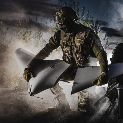
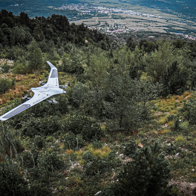
The airframe is a blended-wing-body design built from aerospace-grade composite materials (Kevlar, carbon fiber and Vectran), giving a wingspan of 2.3 m and a platform length of 0.96 m at a maximum take-off weight of 4.7 kg. Propulsion is a brushless electric motor drawing on a Li-Po battery. The aircraft is launched from a foldable elastic catapult system and recovered by an automatically deployed parachute, allowing operation without a runway.
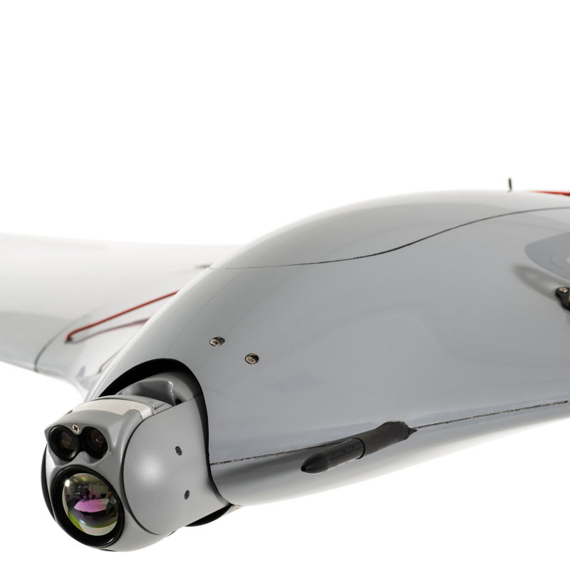
Navigation and mapping accuracy rely on a survey-grade, multi-constellation, multi-frequency GNSS receiver using PPK post-processing, which C-Astral states can deliver ground sample distances down to roughly 0.6 cm at 70 m AGL without ground control points. The standard imaging payload is a 24.2-megapixel RGB sensor, with higher-resolution camera options available.
C-Astral rates the Bramor ppX for a cruise speed of 16 m/s and a maximum speed of 22 m/s (79.2 km/h), an endurance of up to 3.5 hours, a command-and-control range of up to 40 km, and a service ceiling of up to 5,000 m AMSL. The manufacturer lists an operating wind-resistance envelope of up to 30 knots (about 60 km/h) and a temperature range of -25°C to +45°C.
Use cases
C-Astral markets the Bramor ppX for civil land surveying, topographic and cadastral mapping, corridor and infrastructure mapping, and general remote-sensing applications that require rapid, high-precision orthomosaic and elevation data over large areas. A standard deployment package includes the aircraft, a rugged ground control station, the catapult launcher and interchangeable sensor payloads.
Frequently asked questions
What is the maximum take-off weight of the Bramor ppX?
4.7 kg, per C-Astral's specifications.
How long can it fly?
Up to 3.5 hours of endurance, according to the manufacturer.
How is it launched and recovered?
It is launched from an elastic catapult and recovered by an automatically deployed parachute, requiring no runway.
What mapping accuracy can it achieve?
C-Astral states its PPK-equipped GNSS system can produce ground sample distances down to about 0.6 cm at 70 m AGL without ground control points.
What is its operating ceiling and top speed?
A service ceiling of up to 5,000 m AMSL and a maximum speed of 22 m/s (79.2 km/h).
What wind conditions can it handle?
C-Astral rates the airframe for operation in winds up to 30 knots, roughly 60 km/h.